Posts Tagged ‘Michael Powell’
Bundicks Branch Flood Risk Map Revised
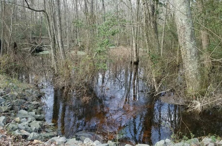
The Delaware Department of Natural Resources is revising the flood risk map in the area of Bundicks Branch west of Lewes. According to DNREC, the effort is part of its Division of Watershed Stewardship partnership with the Federal Emergency Management Agency to improve accuracy of flood maps statewide. FEMA flood risk maps are ultimately used…
Read More